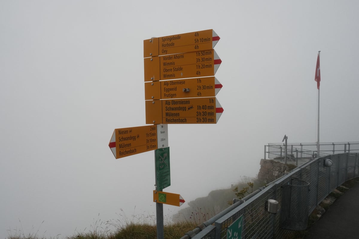
From the Niesen into the Diemtigtal
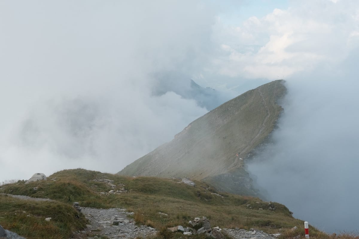
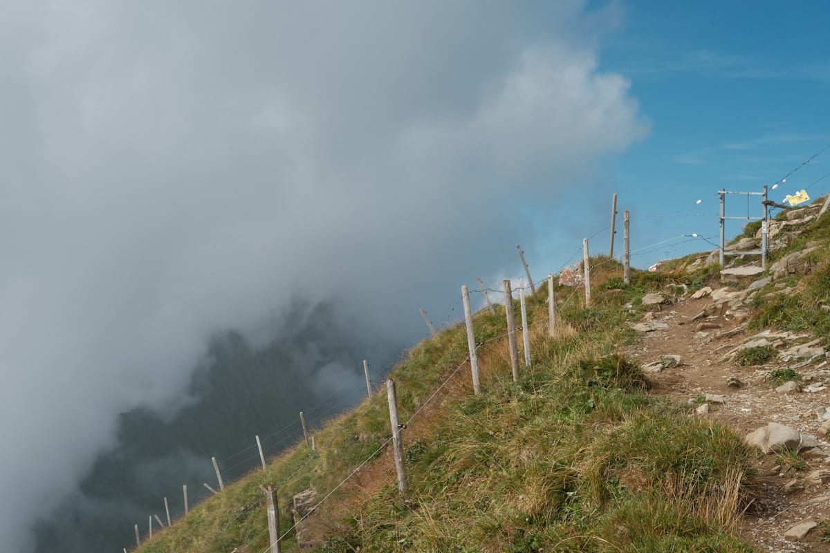
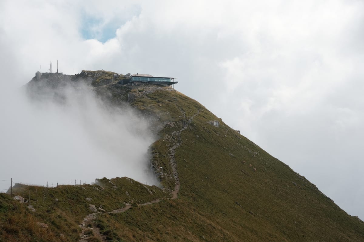
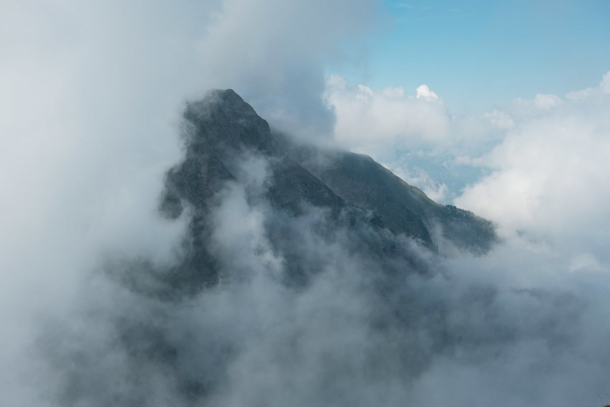
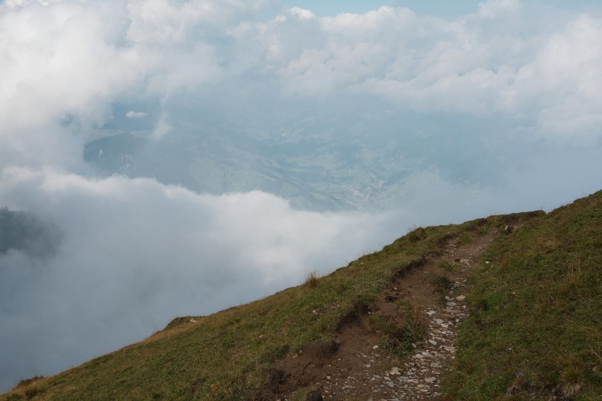
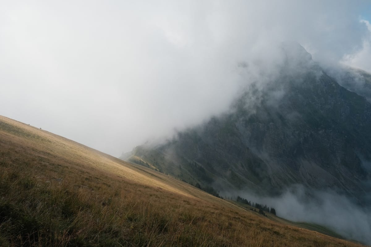
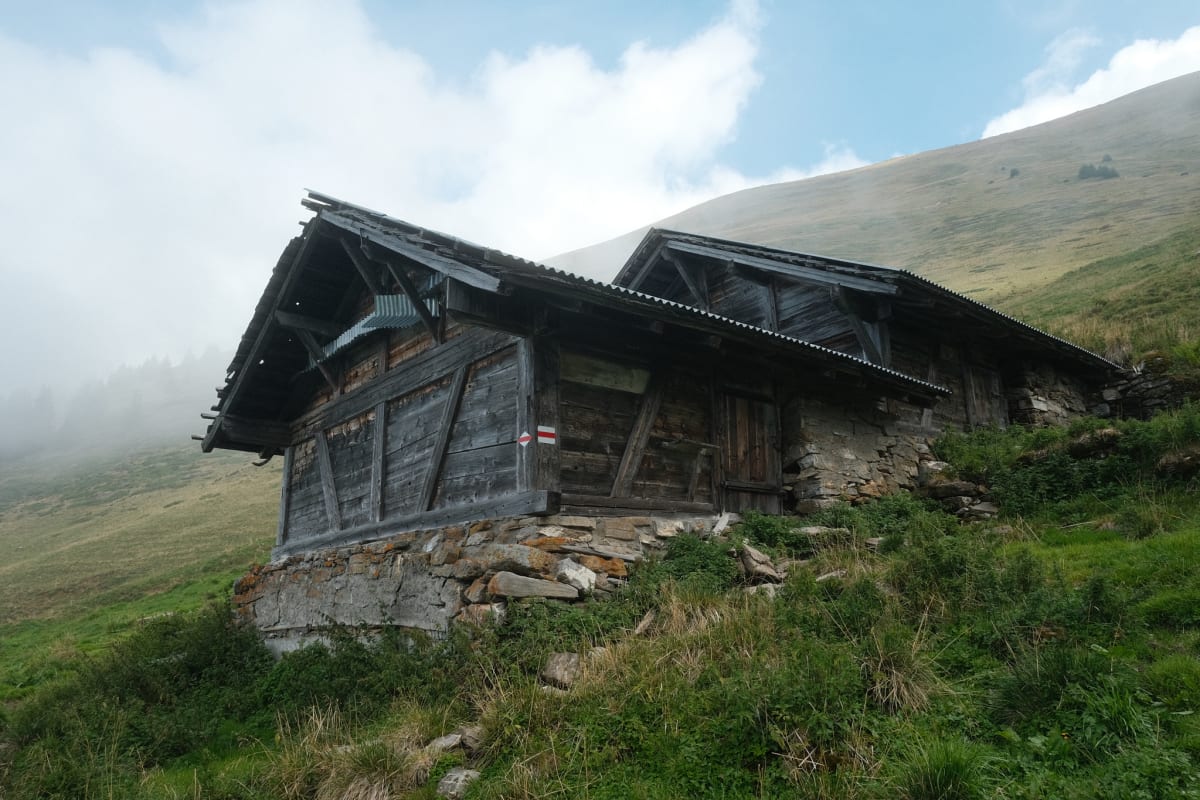
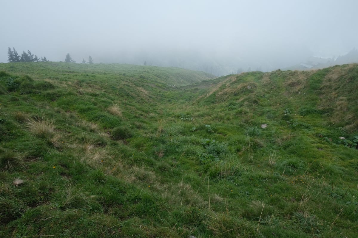
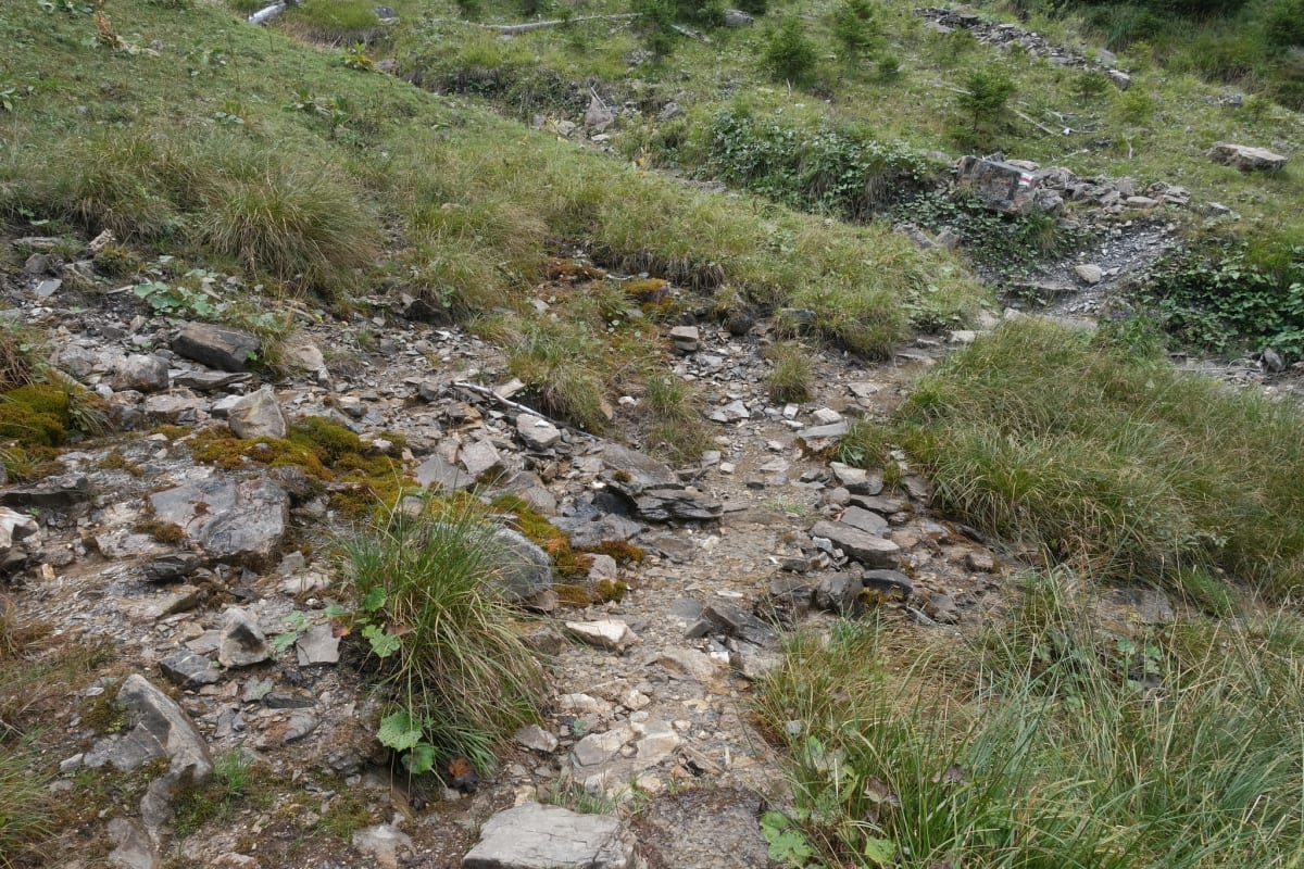
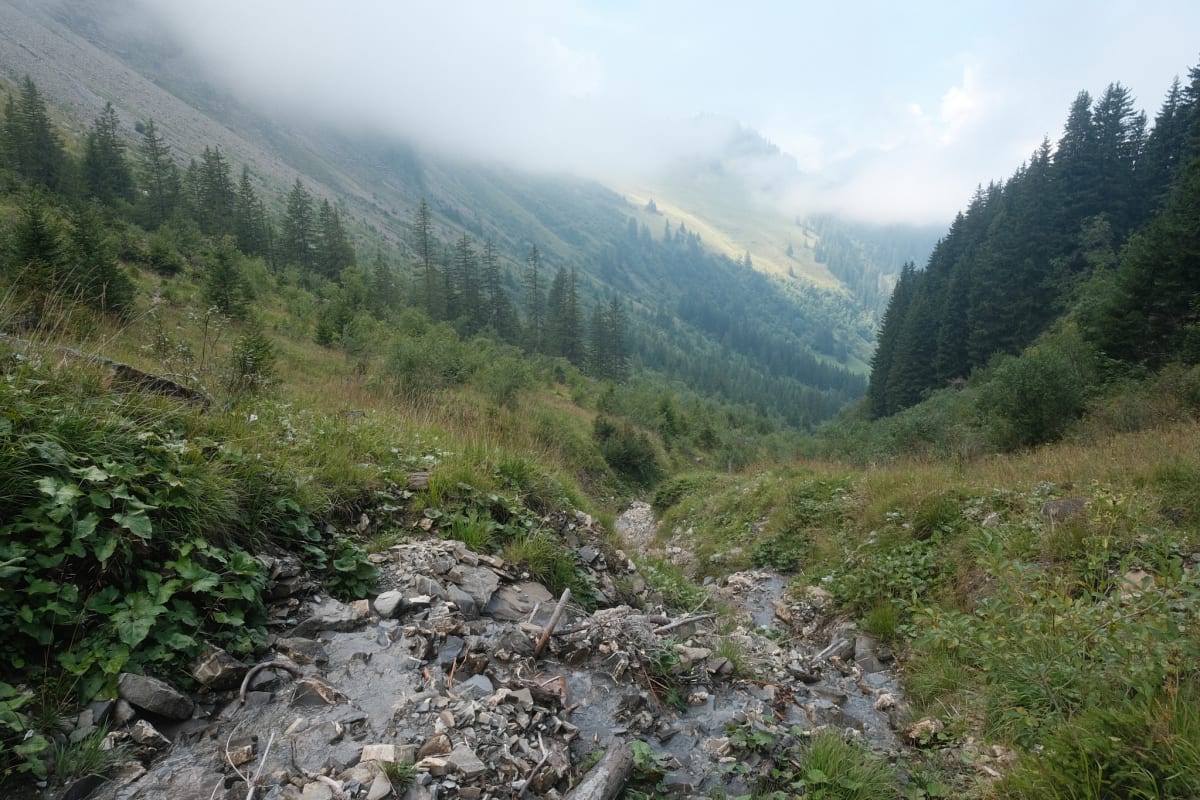
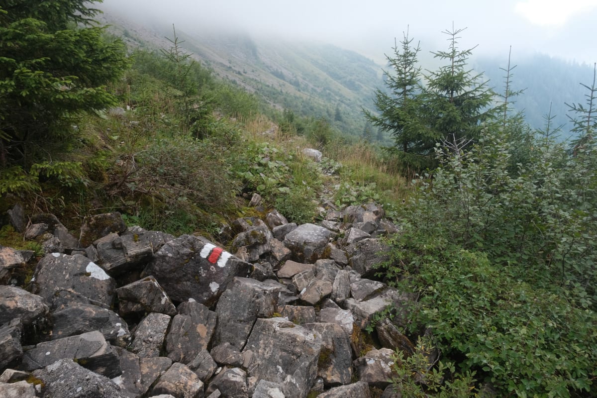
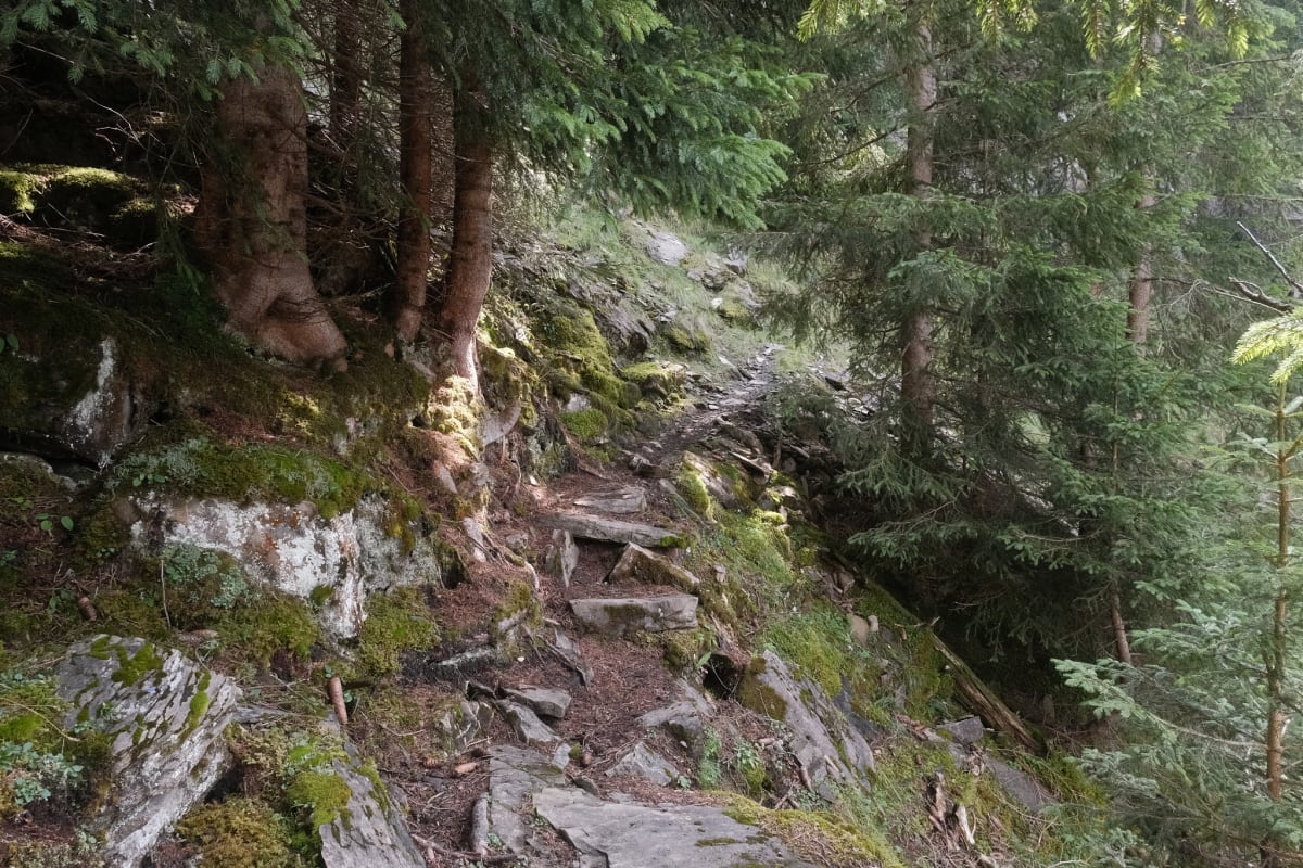
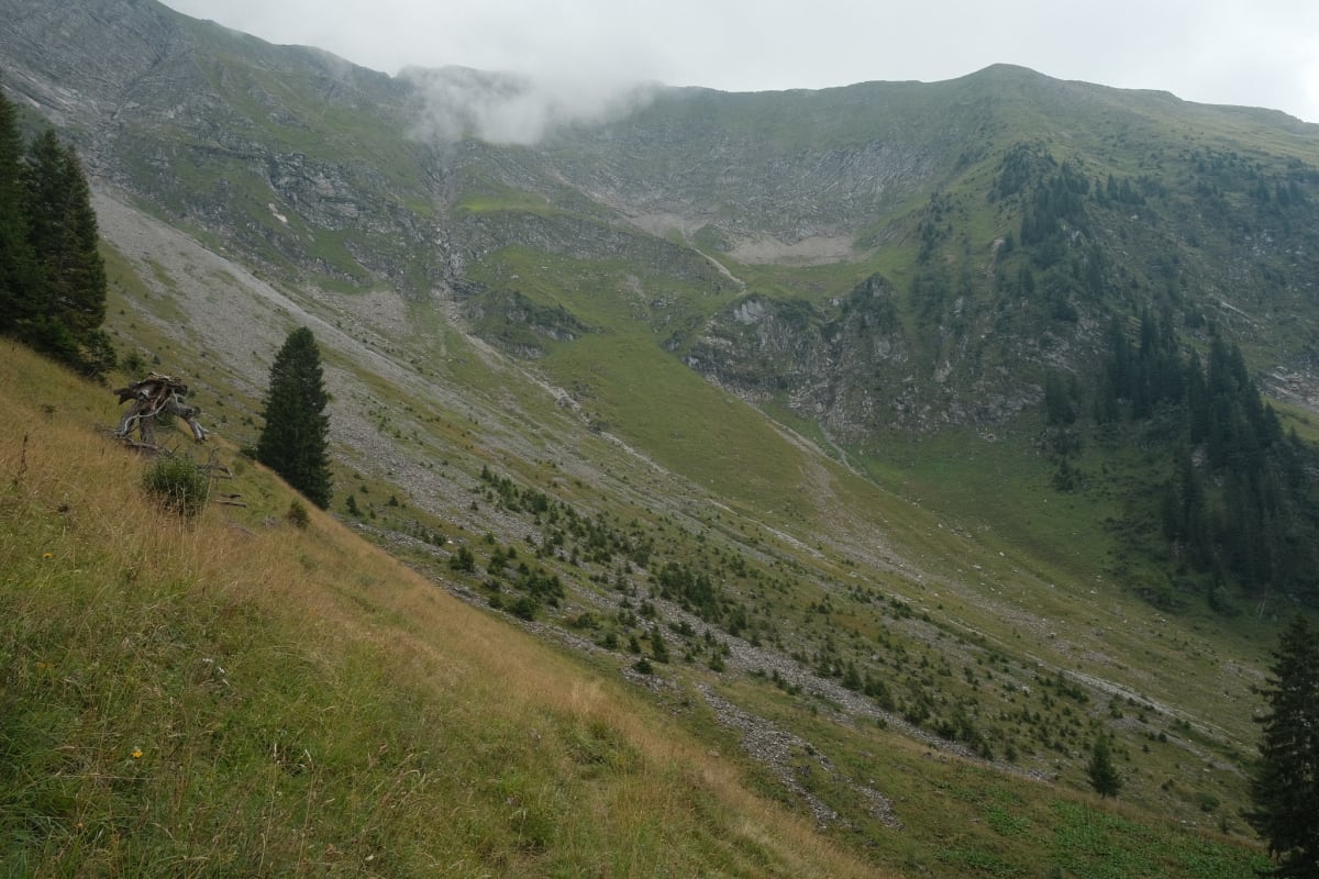
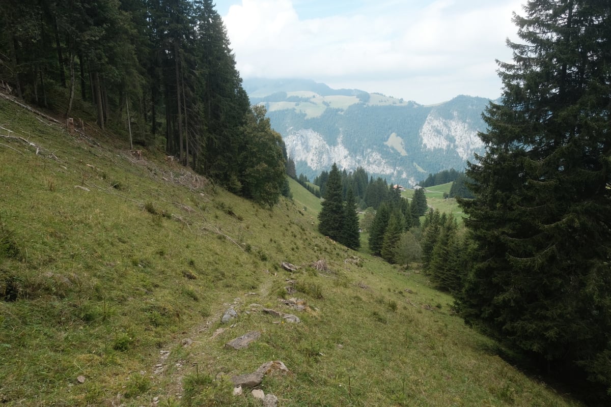
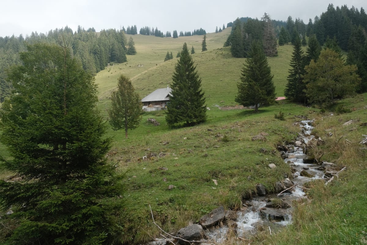
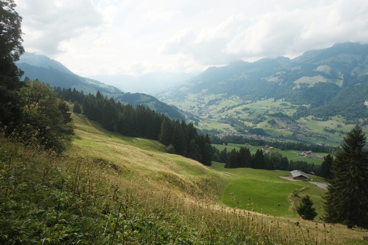
On a semi-cloudy August day, when the temperatures weren’t too high, Elaine and I went for a long hike on the Niesen Panoramaweg. The hike started from the Niesen Kulm (peak), went down a muddy mountainside cow pasture into a forested valley, over stones and rocky scrambles, up through a sheep farm, and down into another valley.
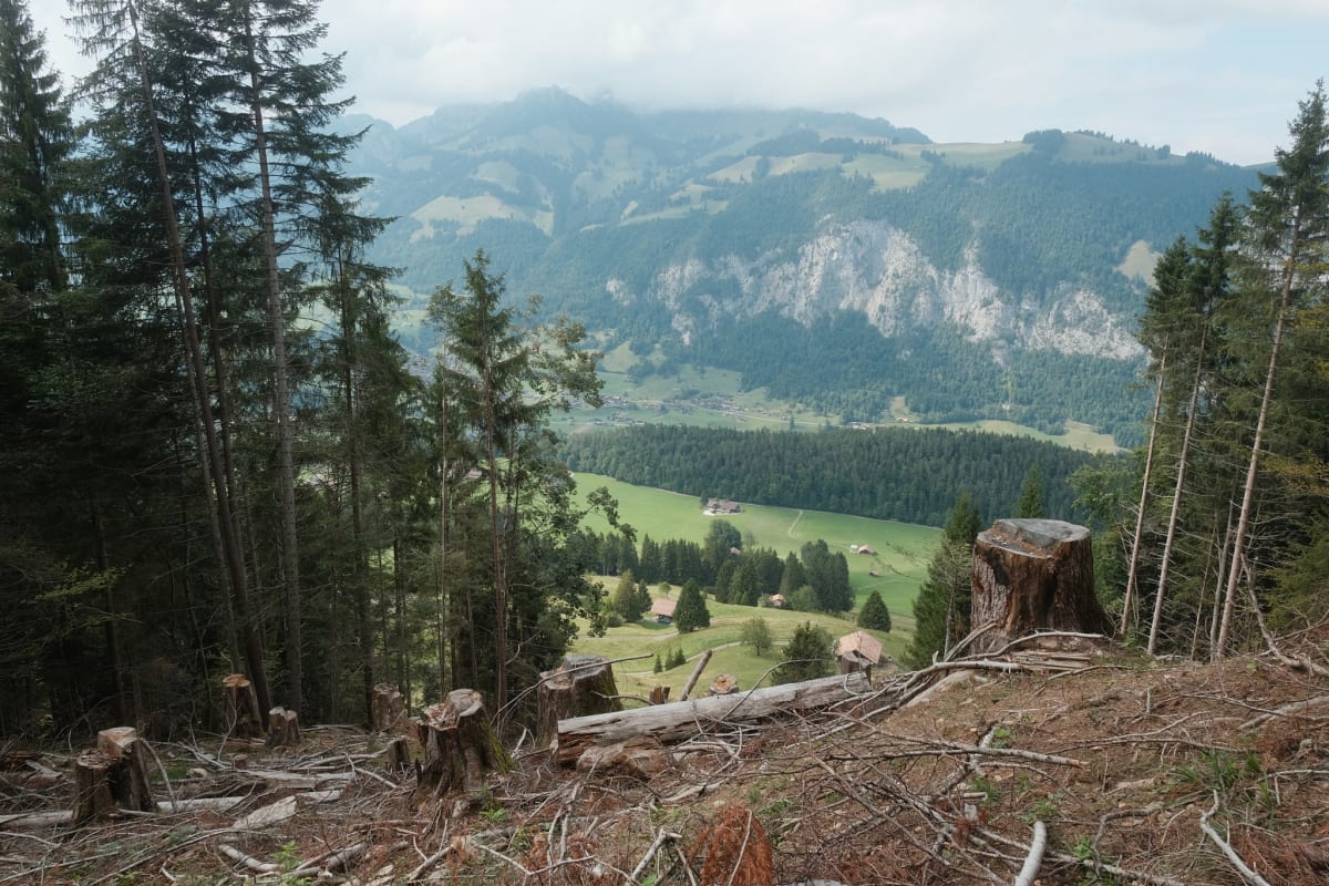
The route is meant to take around 5.5 hours and end at a Beiz (pub) in Springenboden, with a bus running to the Oey-Diemtigen train station. We ended up taking eight hours and branched off the route earlier to ensure we’d catch a train at Oey-Diemtigen instead of potentially missing the last bus.
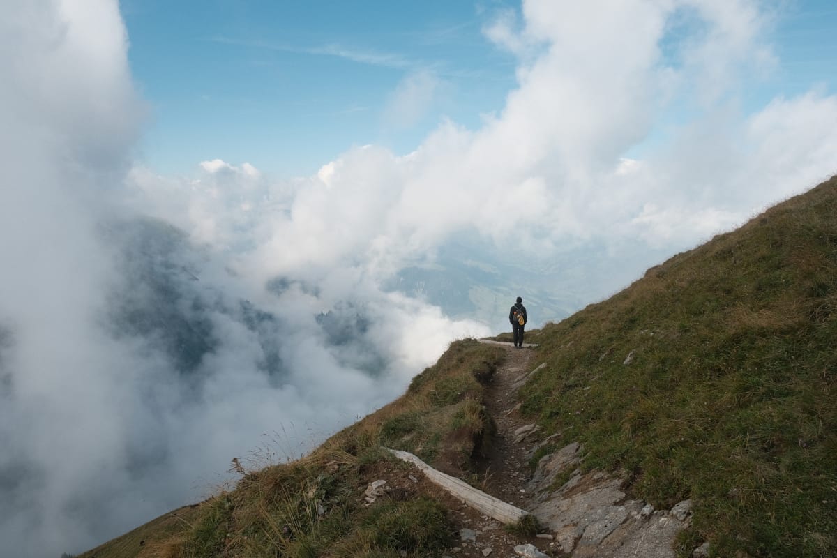
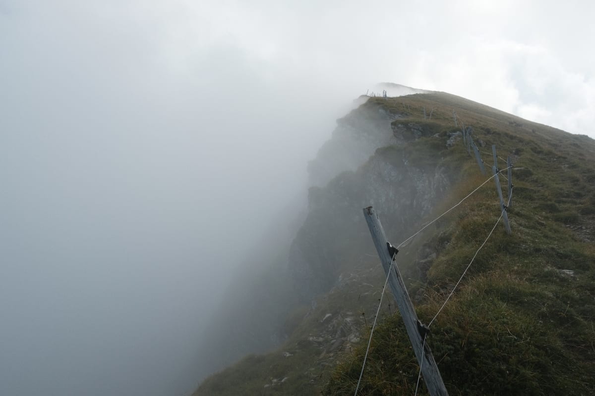
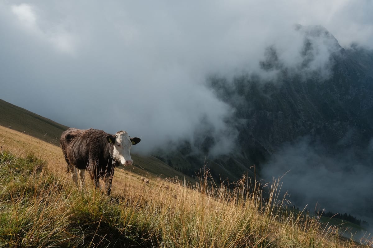
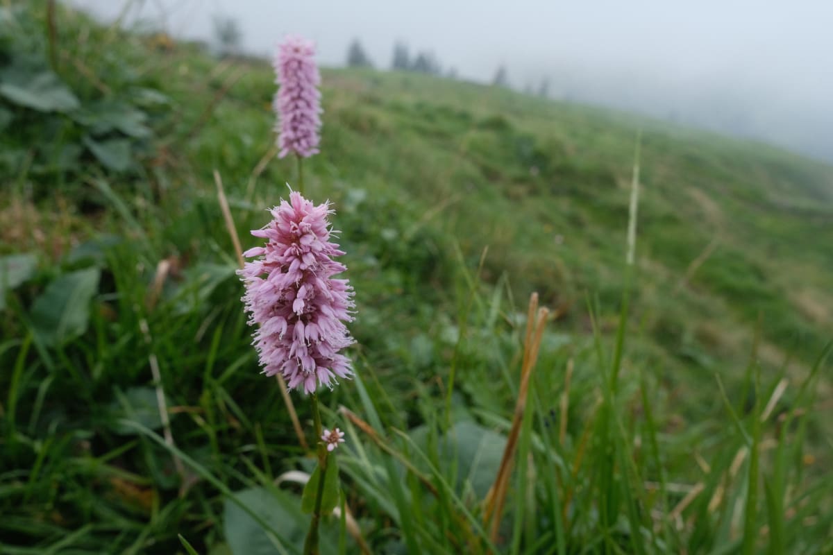
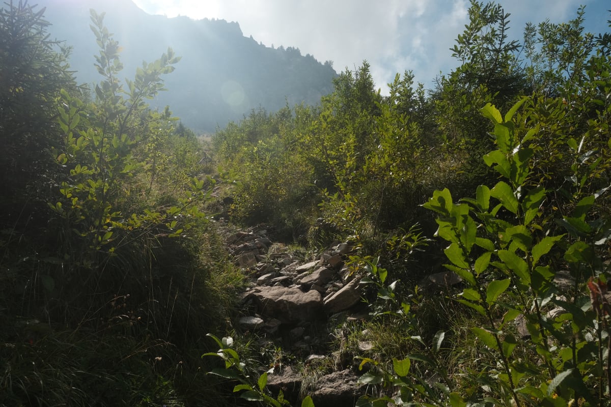
It took us longer than expected: our trail runners weren’t ideal for the muddy start, we stopped a lot to take photos, and we weren’t used to navigating cows on the trails. The trail was rockier than others we’ve taken, and one part was like a humid, swampy jungle. We also didn’t properly account for how far 14km actually is in this terrain; by the time we branched off, we were very tired but still had a far walk to Oey-Diemtigen. And our pace is slower than what gets listed on the Wanderweg signs and estimated in SwissTopo — I’ve since found out about and used the hiking speed setting in the SwissTopo app when planning.
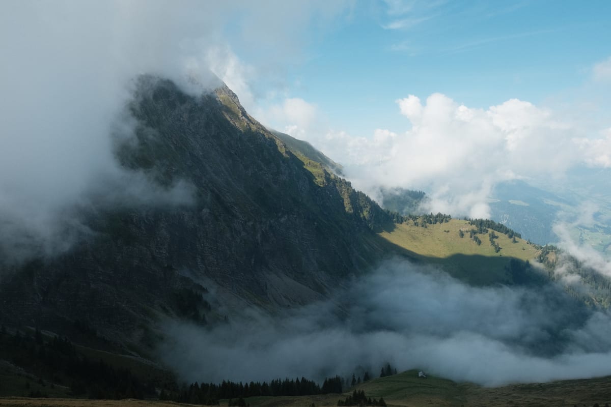
It was a more challenging hike than it should have been due to our own faults, but the vast amount of different scenery also made it one of our most memorable.